Monday, April 30, 2012

Update on the new blog

Our world famous "OutinDeWoods" blog has moved as of 4/22/2012.  The constraints associated with trying to keep updated while traveling in very low internet availability areas have gotten to be too much.  I have found another service that makes it easier to prepare the blog posts while offline, with only a short time needed to finish it up online.  All posts after this date will be at

http://outindewoods.wordpress.com.

The 6 plus years of our blog here on Blogspot will remain as long as possible, but I may eventually move some of the more significant places we have visited to an archive on the new service.  I'll keep you posted.  Thanks for enjoying our travels with us and please check out the new OutinDeWoods.
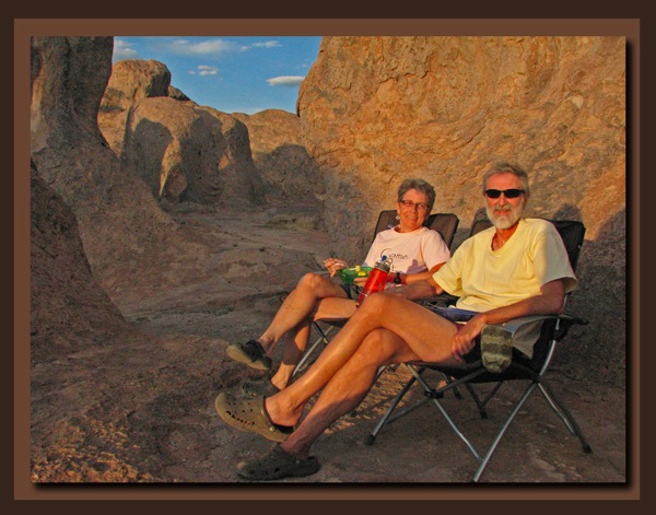
Sunset at the supperbowl

Wednesday, April 4, 2012

Big Bend National Park - Santa Elena Canyon

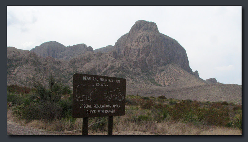
Bear  Mt Lion countryChisos Basin Warning Sign.

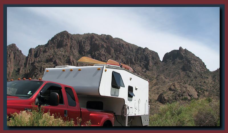
Camper at ChisosThe weather was just too darn hot in Rio Grande Village (100+℉) so we were back up at Chisos Basin for a couple more days.  One last important hike remained and that was the Santa Elena Canyon at the western edge of the park. We took the camper off and drove the 30 miles to the trailhead in the truck.

Santa Elena Canyon
The Rio Grande enters the park through a steep walled limestone canyon on it's western border.  Normally we would kayak a place like this but the low water levels prohibited it so we hiked the one mile trail along the river and up the canyon.  Actually the Canyon was nice but it was disappointing that the trail was so short.

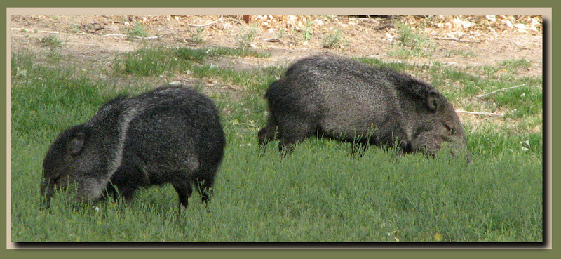
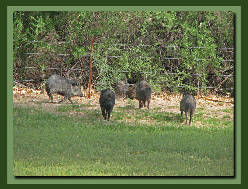
A peccary pairEscape of the peccary pack
On the way back to the campsite we stopped to check out one of the other campgrounds in the park and finally got some pictures of Javelinas (Collared Peccary), and we checked out a few features on the way back to the campground.
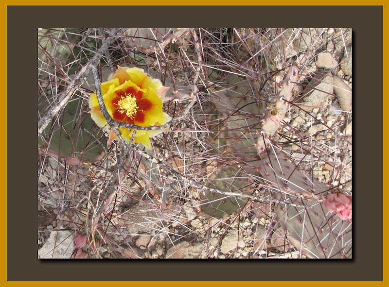
The very prickly pearPrickly Pear.
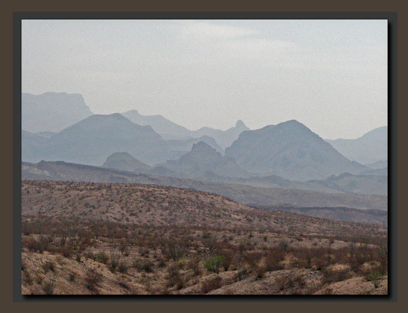
The many layersThe Many Layers of Big Bend.
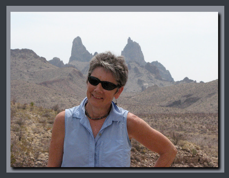
Mules ears on Goofy girlThe "Mules Ears".
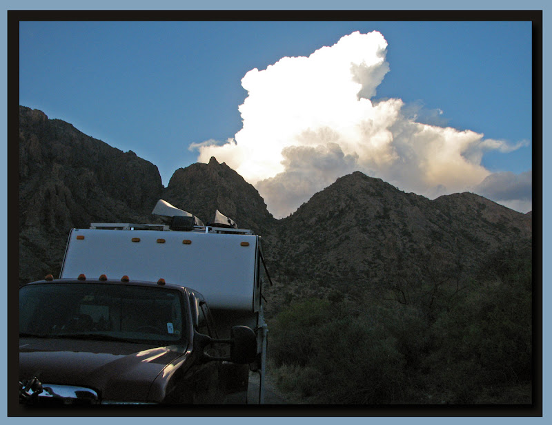
Chisos cloud camper
Big Bend NP has been a most pleasant surprise with it's variety of flora and fauna, and some great hikes.  Clouds are moving in with the promise of rain (much needed).  We'll leave tomorrow through the west entrance and drive to the Texas / New Mexico border and Guadalupe Mountains National Park, wherein resides Texas' highest point, Guadalupe Peak, at 8,749 feet.

Monday, April 2, 2012

Big Bend National Park - Rio Grande Village

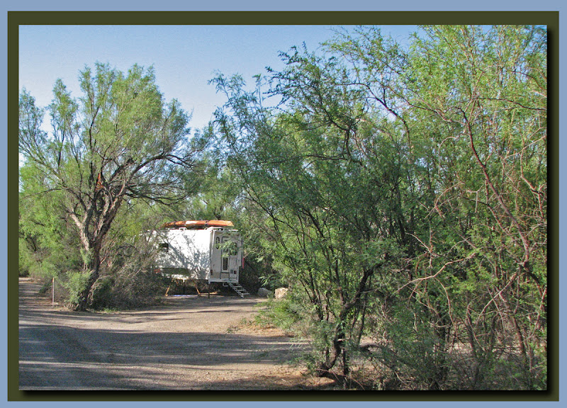
Rio G CampsiteCampsite at Rio Grande Village - Big Bend NP
Rio Grande Village has a store, one of the parks five visitor centers, a campground, laundry facilities and an RV park.  We camped at the Rio Grande campround for a couple of days to do some laundry and offload the camper for some truck maintenance. The campground is quite nice with sites separated for privacy by Cottonwood, Mesquite, and White Thorned Acacia trees.
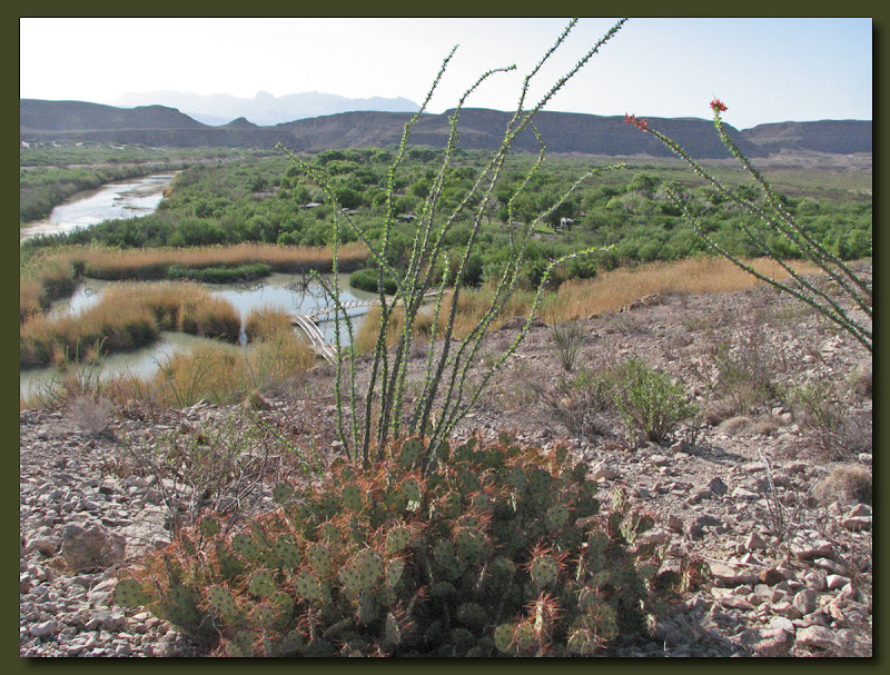
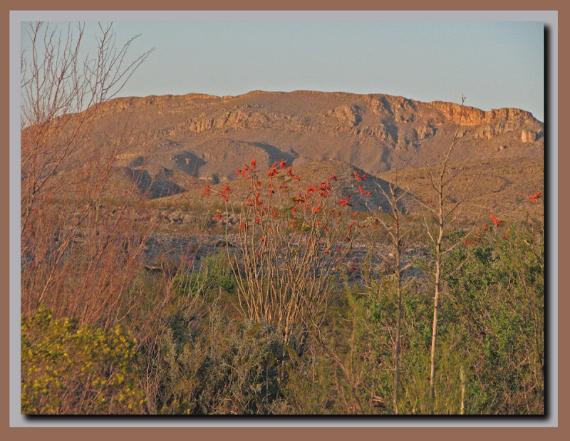
Nature walk at Rio Grande villageOcatilla and Prickly Pear above the Rio Grande River
We did a short hike from the campground to a river overlock.  It was only about a mile, but gave us a nice view of the river and into Mexico.

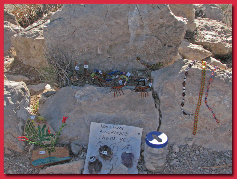
Mex trinkets along the trail
The border at this point must be rather porous because you can wade across the river, though it certainly is illegal to do so.  However, many do and leave small trinkets for sale along the trails like this short nature walk.  If they are caught they are shipped 100 miles away to Presidio and held for deportation.  We were told that the goods would also be confiscated.

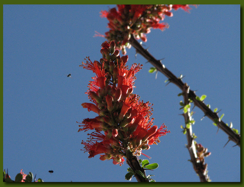
Ocotillo blossom close upOn our second day the temperatures were in the upper 90s but we decided to hike to the Rio Grande Hot Springs anyways.  We had plenty of water and food, dressed appropriately for the hike and set out around 10:00AM.  We found a couple of real treasures along the way.
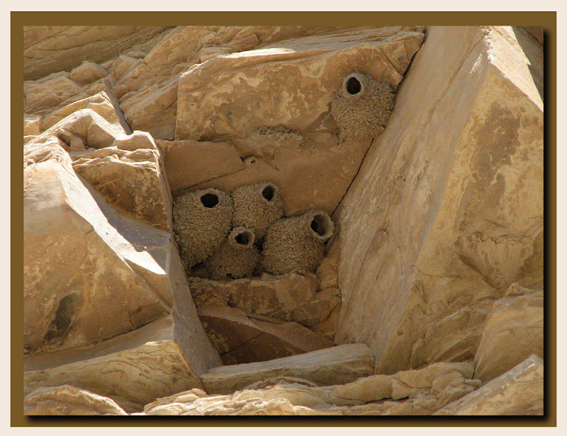
Mud housesCliff Swallow's mud houses.
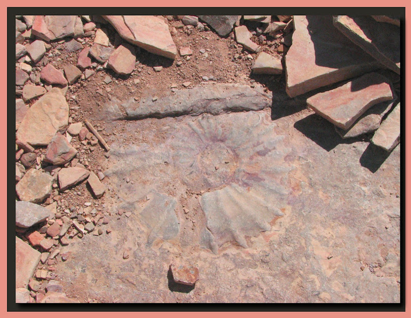
FossilA Cephalapod Fossil, still encased in rock.
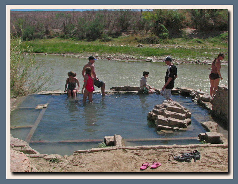
Hot Springs at Big BendThe hot springs were quite fashionable at one time, with bathhouses, a cafe, and some lodging, but all that remains today are the shells of the old buildings and this riverside spring.  A hot soak at 105℉ wasn't too appealing to us after a hot and dusty 3 mile hike, with another 3 to go to get back to the campground, but there were folks there enjoying the spring.
Rio Grand Village was nice, we did get some laundry done, and the campground is very pretty, but it was just too hot for us so we will head back to the Chisos Mountains for a day or so before leaving Big Bend.
Ocotillo sunset

Saturday, March 31, 2012

Big Bend National Park - Emory Peak

An early veiw of peak
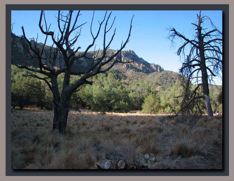
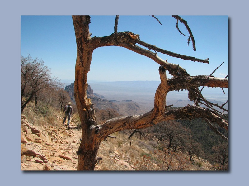
That's Emory Peak  just to the right of the branches of the tree on the left.

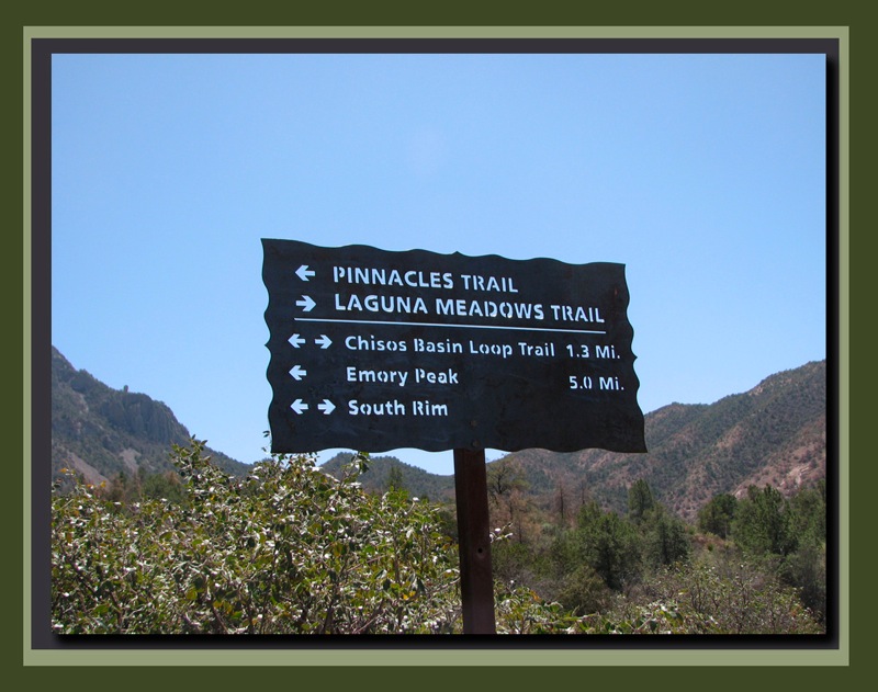
Nice signs
Emory Peak, the highest point in the park (7,825 ft) is one of the big ones.  Our route starts at the campground on the Visitor Center trail (0.5 miles) then the Basin View trail to the Pinnacles Trail to the Emory Peak trail (5.3 miles) for an 11.6 mile round trip hike.

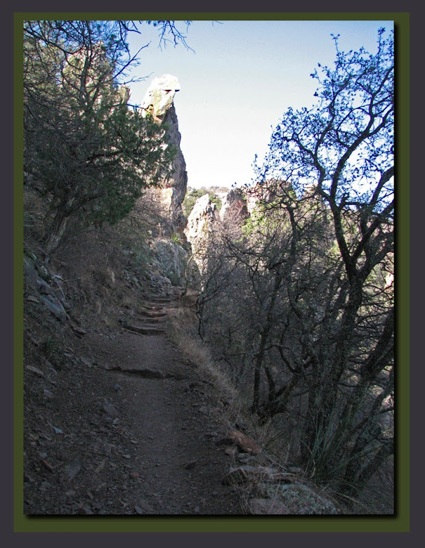
Along the way to the peak
The trail is in great shape and while it is relentlessly uphill for the entire hike, very little of it is steep.  Mostly just a steady uphill climb.

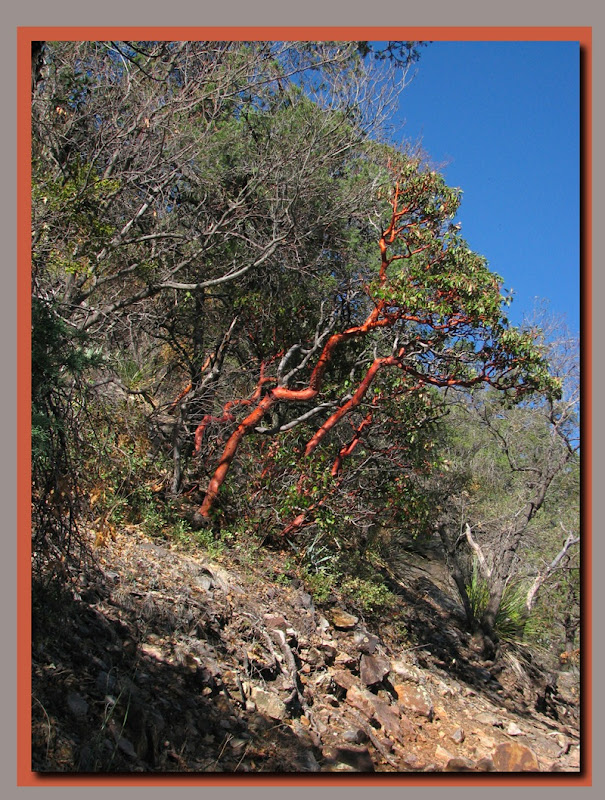
TX Madrone
The Beautiful Texas Madrone.  The Madrone tree sheds it's red bark periodically as it grows

Jay on Emory trail edited 1
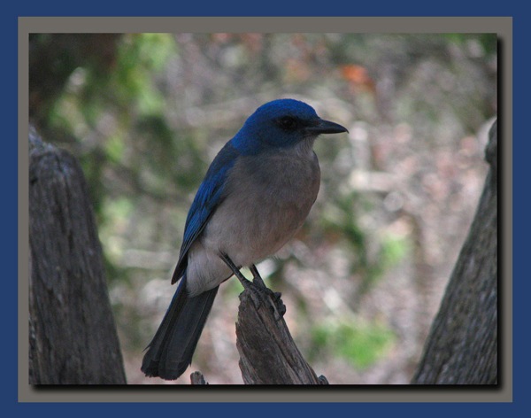
Mexican jay

Bluebellies edited 1
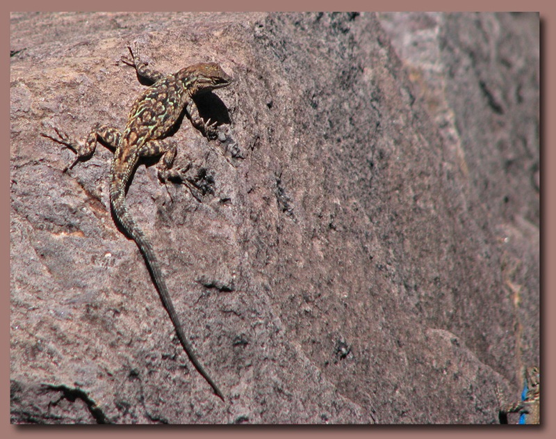
The ubiquitous southwestern lizard, commonly referred to as a "Blue Belly",  Note the belly of the lizard just visible in the lower right of the picture.

Flowers in hi places edited 1
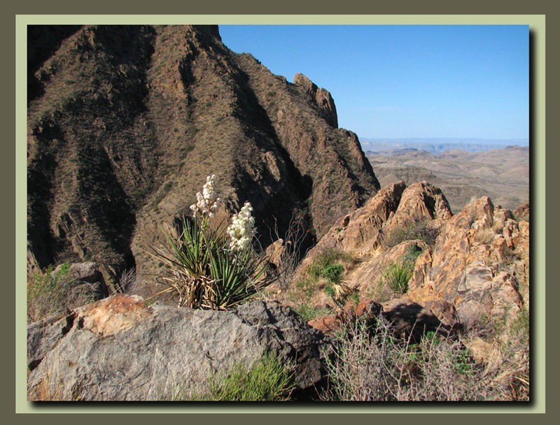
Yuccas in bloom on the basin rim.

Fun stones edited 1
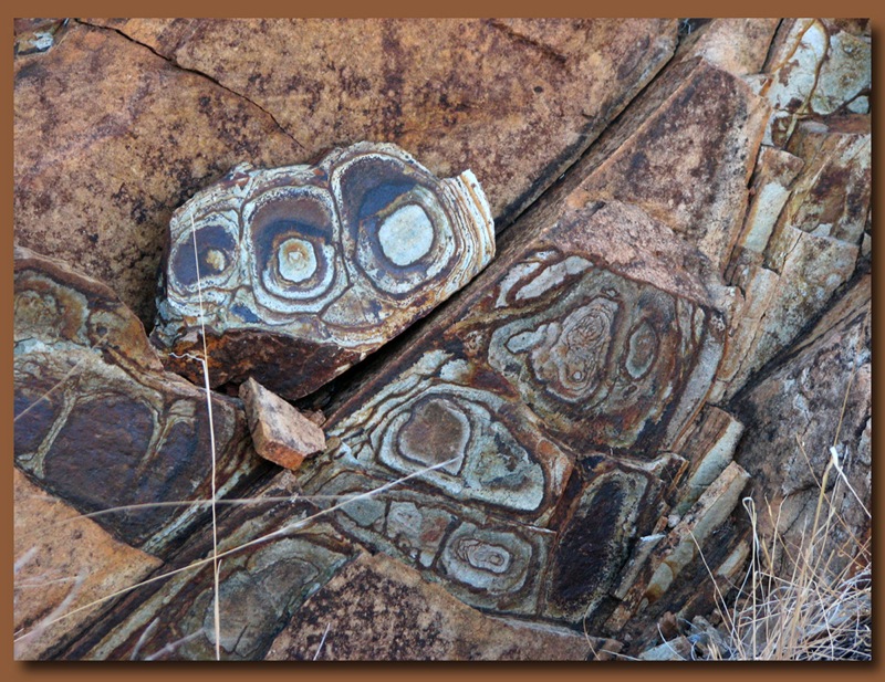
Unusual rock seen along the trail.

Gray green and claret
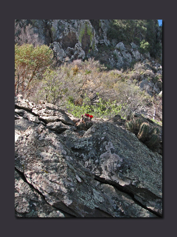
Claret Cup Flower in the pinnacles area of the trail.

Hi atop another rock pile edited 1
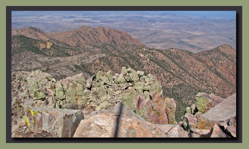
View from the top of Emory Peak edited 1
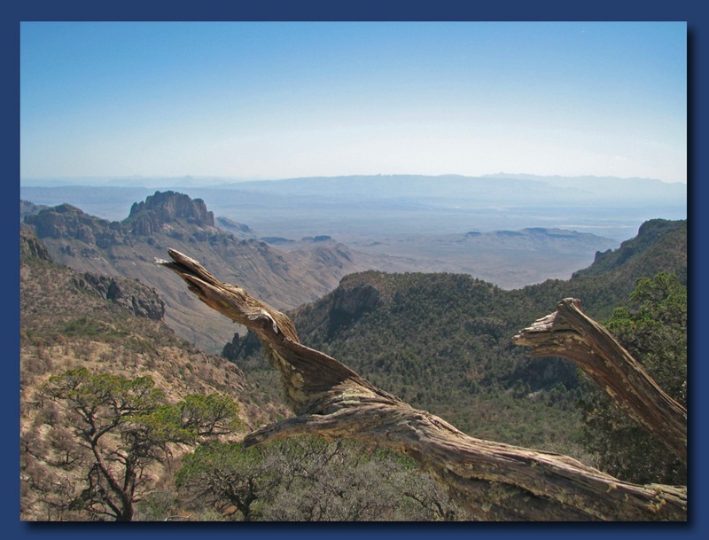
West from the top
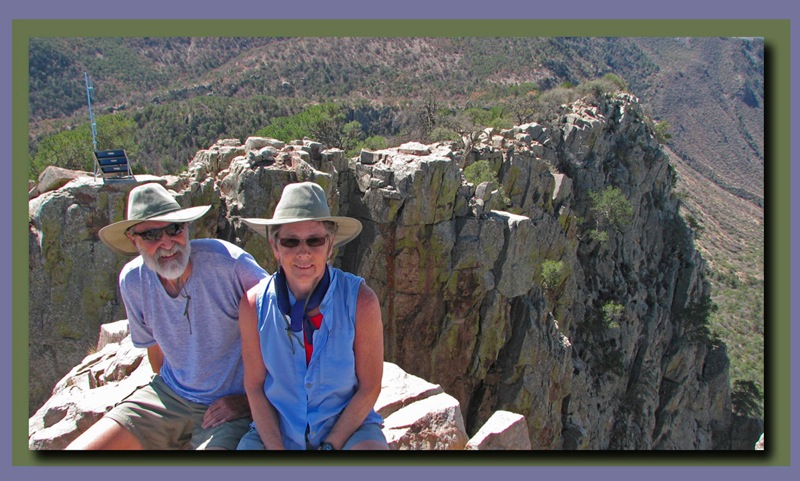
At the summit

View of Chisos Basin edited 1
Looking Back into the Chisos Basin, 2.725 feet below, from Emeory Peak

Heading down the rocky trail edited 1
Of course the problem with any 5.8 mile hike to a fantastic peak is you still have a 5,8 mile hike back down when you are done.  When we get down, we will head south to the Rio Grande Village area of the park and some hikes along the Rio Grande.

Friday, March 30, 2012

Big Bend National Park - "The Window"


The Chisos Basin Campground is in the Chisos Mountains of Big Bend NP at 5,100 feet. All the campsites have great views of the mountains. There are some spectacular hikes in the Chisos Mountains and we have chosen 2 of the best. First up is "The Window". The Window hike is a 3.5 mile round trip hike out of the campground to a precipitous pour-off that drains the Chisos Basin, through a narrow notch in the basin rim, to the desert below when it rains. A pour-off is generally a bowl or funnel shaped area of smooth water worn rock that becomes a waterfall when it rains. The rock above pour-offs is usually smooth and full of potholes that trap water which is used by animals for days or weeks after a  rainfall. The Window pour-off appears to drop a considerable distance
to the desert floor below, but it's hard to tell because it is so smooth and slippery that you can't get very close to the edge. The view out across the valley is fabulous. It was a great short hike and we met some mule deer on the way back up.


Thursday, March 29, 2012

Big Bend National Park - Chisos Mountains

The Rio Grande starts in Colorado, travels through New Mexico, then forms much of the southern border of the U.S. along the states of Chihuahua and Coahuila in Mexico.  The environmental habitat formed by river, desert and mountains means that Big Bend contains a unique blend of flora and fauna not found anywhere else.
The River
From it's headwaters in Colorado the Rio Grande is a working river dammed for irrigation and manufacturing and it then loses much of it's water to riparian agriculture and evaporation.  In times of good water, the river still flows mightily through New Mexico and is significant when it gets to Mexico, but in times of drought, like now, the river is a bare trickle by the time it reaches this far south.  Still, enhanced by creeks and streams in Mexico, the river feeds a green oasis of Cottonwoods and grasses as it passes through the park.
The desert.  
The Chihuahuan Desert reaches it's northernmost boundary here in the park where it will give way to the wetter Sonoran and Mojave deserts to the north.  Many of the plants and animals of the Chihuahuan Desert only U.S. habitat is here in Big Bend.  Rabbits, Lizards, Snakes and Javelinas (Collared Peccary - Picture to follow as soon as we can get one) live in the desert.
The Mountains.  
The Chisos Mountains , volcanic in nature, rise starkly out of the desert, suck in the majority of the rain that falls here and provide a habitat for the rare Carmen Mountains White Tailed Deer as well as Ringtails, Foxes, Black Bear, and Mountain Lions. 

It is very unusual to see cactus (including prickly pear, letchuguilla, sotol, agave, and many others), junipers, pine and fir trees, and yuccas in proximity.  Of all the parks we have visited this park has the most unusual variety of plant life we have ever seen.
Big Bend is a CCC (Civilian Conservation Corp) park and much of it's infrastructure was built by the CCC in the 1930s.  This culvert is an example of the type of stone work you will often see in CCC parks.
We were camped up here in the Chisos Mountains so we hiked the lost mine trail to view Lost Mine Peak.  Lost Mine Peak is the site of a supposed silver mine that was sealed up when native slaves overthrew and killed their Spanish captors.  True?  maybe. 
Lost Mine Trails End.  Looking at Elephant Tusk, the south rim of the Chisos Basin, and off into Mexico.
Wednesday, March 28, 2012

Big Bend National Park, Texas

If you go west in Texas almost as far as you can go, and a little bit south you come to a big bend in the Rio Grande River which defines part of the border between the U.S. and Mexico.  It also defines Big Bend National Park.Big Bend is one of the least visited parks in the National Park System, and yet it contains such a myriad of interesting features that we all should see it.  It's a long trip across a big state that is sometimes full of nothing, but not so at Big Bend.
Wildlife living at Big Bend include the delightful Road Runners which are just a ball to watch, scooting about rapidly to catch bugs and lizards (and presumably to avoid hungry coyotes).
Pyrrhuloxia(a close relative of the red cardinal), Mockingbirds, Vultures, Mexican Jays, and Canyon Wrens are in abundance. 
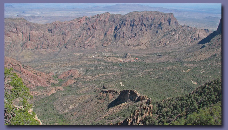
Here in late March many of the cacti are blooming.  In the background you see the Chisos Mountains which rise above 7,000 feet in the center of the park.  We decided to camp in the small campground which is nestled in Chisos Basin, right in the middle of those mountains. 
That's us, right there in the middle.  The campground is at 5,100 feet, making it about 20 degrees cooler than the river campgrounds - 75℉ instead of 95℉.  We spent our first day catching up on photography and will do a couple of hikes in the days to come.
Claret Cup Cactus
Stawberry Pitaya

 Cactus Garden along the Trail to the visitor center.
Ocatillos at sunset.
These plants are dangerous.  Those  spines are like needles.
View of Casa Grande Peak from the campground.

After a day of acclimatization to the altitude we will do some hiking, hopefully to Emory Peak, the hghest point in the park at 7,825 feet.