Friday, September 17, 2010

Lunenburg, Nova Scotia

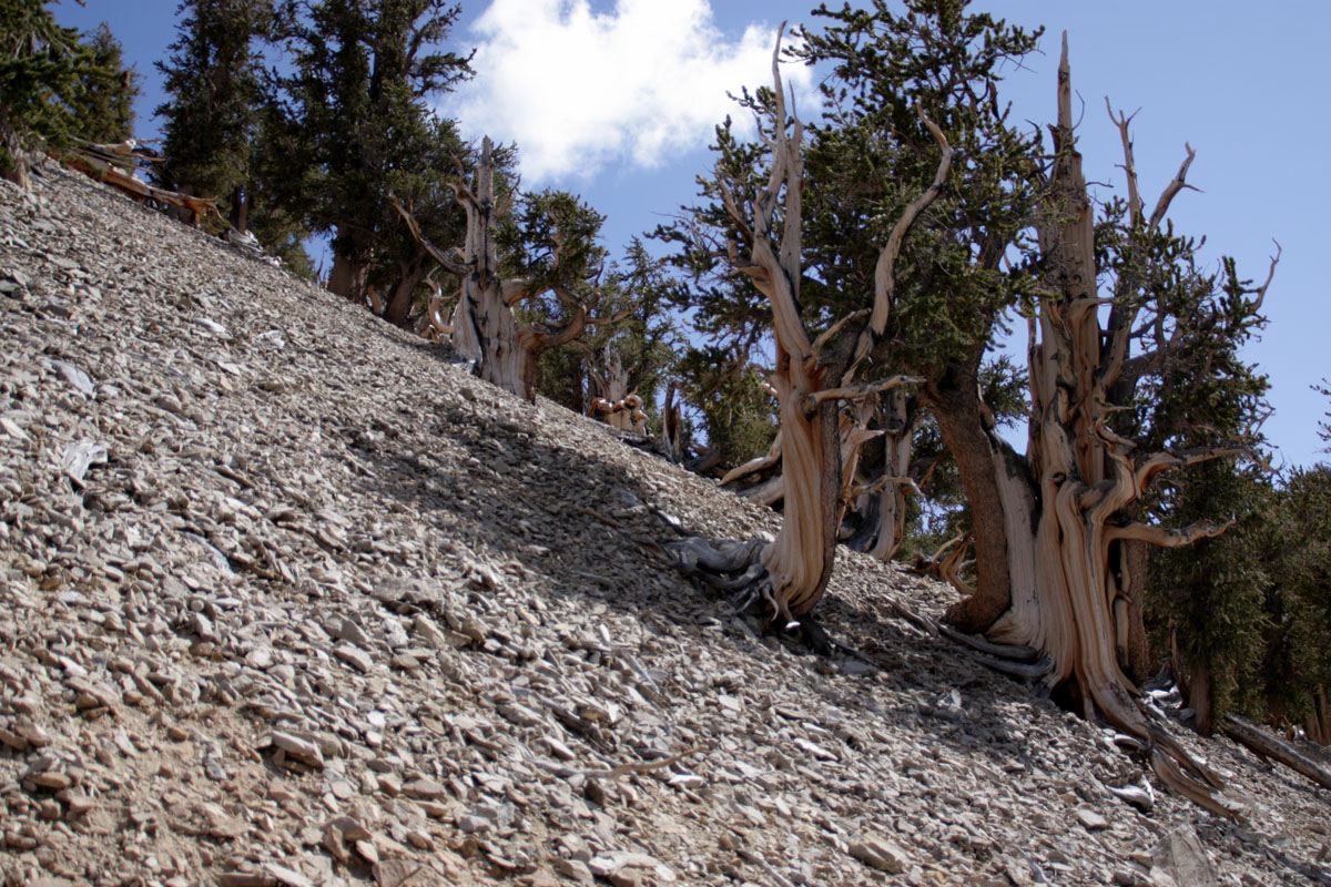
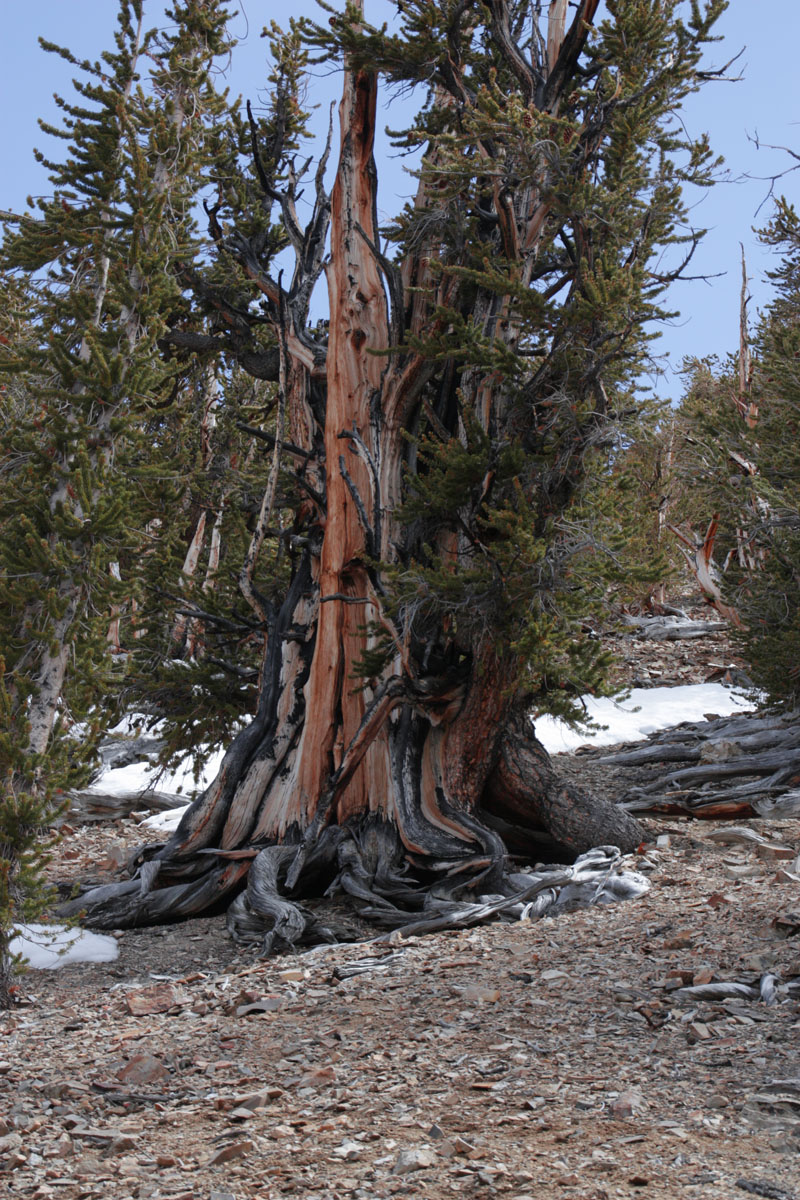
The town of Lunenburg is about halfway up the east coast of mainland Nova Scotia and we convoyed up for the trip along the coast. We stopped at several beaches and points of interest along the way.
Wherever we went in Nova Scotia we found absolutely marvelous places to stop, walk about. and take photos.


We visited the Fort Point museum before taking the ferry into Lunenburg.  Notice the solar panels on many of the campers. Solar panels, upgraded batteries, efficient LED lighting and sophisticated electronics have enabled many of us to travel to areas without typical RV hookups. Our next campground was not one of those, but soon we would be traveling to areas of Cape Breton that were much more primitive.

Lunenburg is a postcard picture town if ever there was one. Lunenburg is a UN World Heritage Site and because of that

 there are many regulations concerning the architecture. Seems though that they forgot to put in any concerning color, and the folks of Lunenburg show their creativity with paint.


Note the “Lunenburg Bump”, an architectural feature on many of the houses in Lunenburg. We never did get a good answer as to the “Bump”s function, but it's an interesting architectural feature that seems to be quite common in Lunenburg.


Lunch at the Knot happened more than once, for many of us.

Tuesday, September 14, 2010

Heading East

2010 Canadian Maritimes - Heading east across Nova Scotia
After touring Brier & Long Islands we stayed the night at Whale Cove Campground, one of the most unusual and delightful campgrounds we have visited.  The next day we caravanned across Nova Scotia to start the East Coast segment of the tour.  Along the way we stopped at several coves and beaches and late in the day arrived at Risser's Beach Provincial Park for some beach camping.
 Here's the link to the full post →    Heading East

Monday, September 13, 2010

Long & Brier Islands

2010 Canadian Maritimes - Long and Brier Islands, NS
Our first real travel day took us to a pair of beautiful little islands on the southwest coast of Nova Scotia.  We spent all day exploring, including several ferry rides.
Link →   Islands

Sunday, September 12, 2010

Port Royal

2010 Canadian Maritimes - Port Royal
Port Royal is one of the coolest places we have visited.  The National Historic Site is a reproduction of the "Habitation", essentially a very small fortified village, established by Samuel de Champlain early in the seventeenth century.

Here's the link - Port Royal

Saturday, September 11, 2010

The Tour Begins

2010 Canadian Maritimes - The Tour Begins
Annapolis Royal, one of North America's oldest towns, was the starting point for our 14 day tour of Nova Scotia.  On the tour we would explore the southwestern part of Nova Scotia, then cross the province to explore the northeastern area and Cape Breton National Park.  12 other couples with truck campers accompanied us.
Link → The Tour Begins

Monday, September 6, 2010

Into Nova Scotia

2010 Canadian Maritimes - Parlee Beach, NB and Bear River, NS
We stayed on night at Parlee Beach Provincial Park, the last night of the season, then drove into Nova Scotia to meet our hosts and do a little pre-tour exploring on our own.

Link → Parlee Beach - Bear River

Sunday, September 5, 2010

Kouchibouguac NP

2010 Canadian Maritimes, Kouchibouguac National Park, NB

Kouchibouguac, in the northern reaches of New Brunswick, is culturally much different from the rest of the province with a decidedly French flavor.  Away from the tidal rages of the Bay of Fundy it has warm coastal waters, barrier islands, and for us...Hurricane Earl.

Fortunately the hurricane veered east and we caught only the fringes with rain and wind, and a spectacular sunrise the day after.  Kouchibouguac NP

Wednesday, September 1, 2010

Fundy National Park

2010 Canadian Maritimes, Fundy National Park, NB
Fundy National Park, located on the eastern shore of New Brunswick is famous for it's 40 foot tide range.  The park also has gorgeous beaches, very nice campgrounds, and miles of hiking trails.

John Muir (click on the image to enlarge).

Full post → Fundy NP

Tuesday, August 31, 2010

Kingsbrae Gardens

2010 Canadian Maritmes Kingsbrae Gardens, St. Andrews, NB
We took a short side trip to these wonderful formal gardens.  They were a nice introduction to the beauty of New Brunswick.  We arrived in late summer and have decided that we would definitely like to see these gardens in other seasons.
Here's the link for the full post.  Kingsbrae Gardens

Monday, August 30, 2010

2010 Campobello Island

Campobello Island was the summer home on Franklin Roosevelt.  Campobello Island International Park is jointly managed by the Canadian and US national Park Services.

While on Campobello Island we also visited Herring Cove Provincial Park and Quoddy Head Light.   Click on the link below to read or download the full post in PDF format.

Tuesday, August 24, 2010

The Coast of Maine

Part 1 - The Maine Coast
It seems like we had barely made it back to New Hampshire and we were off again. Two years ago some friends from Canada invited us and several other couples with truck campers to a 14 day tour of Nova Scotia. We decided "What the Heck", why not include New Brunswick, Prince Edward Island, and a bit of the coast of Maine and make it a 30 day tour.
 
The Coast of Maine
The above link will take you to a site where you can download the entire file
"The Coast of Maine" in PDF format.

NEXT:  Campobello Island, New Brunswick, Canada.

Tuesday, May 25, 2010

The Ancient Bristlecone Pines, White Mountains, California

Let's see, what was going on 4,500 years ago today. That would have been 2490 BC. That's way before the Romans and Greeks. I guess the trees we  are looking at started growing around the time of early Chinese civilization.

Of course some are just young pups, a couple of thousand years or so old. These trees have developed unique methods of adapting in order to survive for so many years. First they grow in areas of dolomite soil. Dolomite is metamorphosed limestone (Limestone, changed by heat into hard dense rock). Suffice it to say that the soil is toxic to almost all other forms of plant life, thus, no competition for sunlight and water. Second, they allow parts of the tree to die off in dry times while keeping essential parts alive. The trees look mostly dead with little or no bark and only occasional branches of greenery here and there to show that they are living. The wood seems to be impervious to the ravages of insects and weather. Solid wood, as much as 10,000 years old, lies all over the ground.

 This old fellow is one of the Patriarchs of the
grove.
The trees in this grove are "Great Basin Bristlecone Pines". The grove lies on the western slope of the White Mountains, just east of the Sierras, at 10,000 feet.

It's hard to believe that some of these trees are still living, but they are alive and well.  Scientists use a technique known as dendrochronology (roughly – tree ring dating) to determine the age of the trees. By counting the growth rings of a core sample they can accurately date the tree. Dead wood that falls to the ground in the White Mountains can survive intact for many thousands of years due to the very cold and dry climate. These growth rings vary in width depending on growing conditions. By comparing the width of the rings of fallen wood with those of still living wood they can accurately date older wood, back to 10,000 years. They have used these techniques to correct inaccuracies in Carbon 14 dating that were suspected in the 1960s and later confirmed by dendrochronology. Many archeological sites in America and Europe have now been found to be much older than originally believed.
The Bristlecone Pine grove itself is a hostile, yet beautiful, place. The steep slopes, steep enough that they are almost impossible to climb, combined with the inhospitable soil and climate have turned out to be a perfect place for these ancient trees.
One of things that struck me about the trees was the hardness of the wood. Rapping on a branch, for all the world looking dead and dried, would produce a sound like a tuned drum and resonate through the branch. I'm sure a trained musician, with a set of mallets, could play music on the branches of these trees.

You can pick up a piece of dead wood from the ground that may be 4,000, 6,000, maybe 10,000 years old and it is still as sound and solid as a piece of hardwood you might purchase at a lumber mill.
Here's a couple of youngsters surrounding one of the older trees. Occasionally we found core tags that indicated when and where a core sample had been taken, but unfortunately there was nothing to indicate the age of individual trees. We had to guess at their age.
The magnificence of the aged wood is striking. Grain colors range from the palest of tans, through rich browns and reds with occasional grey to black. The stark beauty of the rugged environment, combined with the lovely colors gives the place an almost cathedral like ambiance. I think I will need to go back some day and visit the grove during a full moon. It will be spookily beautiful I'm sure.
We arrived at the grove to hike around late morning and there were a few people hiking on some on the shorter trails on the edge of the grove. We had decided to do the longer 4 mile hike through the grove and to the area of the oldest trees.
We were fortunate to have the hike to ourselves; just us and a few thousand of our oldest boreal friends.
As you all know we tend to seek outdoor adventures wherever we go, but we also have a spiritual side and we often hike to places that are much more than just a workout and a nice view. This was just such a place.
The cold clear air, the absolute quiet, and the unusual beauty of these old trees touched our souls. I can't imagine not visiting this wonderful place anytime we travel this way again.
These Great Basin Bristlecone pines grow, almost always above 10,000 feet, in the mountains of Utah, in Great Basin National Park in Nevada, and here in the White Mountains of California. A closely related tree, the Rocky Mountain Bristlecone Pine, grows in the Rocky Mountains of Colorado and New Mexico and in a small isolated grove near Flagstaff Arizona.

The name "Bristlecone" comes from the fact that the egg sized cone has a tiny spike at the end of each scale.
If you ever have the chance to see one of these groves, even though it might be a bit of work to get there, I strongly suggest you do. It is quite a feeling to put your hand on a 4,500 year old living tree.
This was not an easy hike, there was a lot of snow on the sometimes quite steep slopes, it was cold and windy, and we were at 10,000 feet, but we were well prepared with warm clothing and our crampons.  Sometimes you just have to suck it up and go see the wonders of the world no matter where they are.  This one was definitely worth it.
Hug a Tree Today!

Pinus Longaeva
The oldest living entity on Planet Earth

(Opens in new window)

Saturday, May 22, 2010

Bishop California - More Sierra Hiking

Ahh! Nothing like clear, crisp, mountain air and a spectacular sunrise to get the blood moving in the morning. This felt like a good day to hit the coffee shops in Bishop then do some exploring
The town of Bishop is a delight and we spent some time perusing the local stores and coffee shops.
Like so many western mountain towns we found murals.
East of our campground, toward Bishop, we found the "Buttermilks", an area of pale rocky outcroppings of weird and unusual shapes. The lower altitude (around 6,000 feet) means there is little or no snow here.
Always on the lookout for local fauna we spotted a rattlesnake crossing the road.
The noisy end of a Western Diamondback Rattlesnake. The rattles are made of a hard material similar to fingernails but much thicker and more brittle. The snake adds a rattle each time it sheds it's skin, once or twice a year.
We spent an hour or two touring the area in the truck, but it was really the high peaks that called to us. We heard in town that South Lake Road my have just opened for the season so we took off back up to the National Forest to check it out. The road was fully open to within a mile or so of the lake and a single lane with occasional pullouts was plowed through the last mile to the lake.
The view of Bishop Pass from the road in to South Lake.
South lake was still well and truly frozen.
For some reason the upstream side of South Lake Dam is covered with wood planking. The only reason I can think of is to prevent scoring of the dam face by ice. We're thinking it would be nice to come back here in the summer sometime when the lakes are free. Note that the lake level here is also drawn down in anticipation of the spring snow melt which is expected to be quite high this year.

The oldest living trees on the planet reside in a small area of the White Mountains just east of us.  The Ancient Bristlecone Pines are our destination tomorrow.

Friday, May 21, 2010

Sierra Hiking


After a day or so of sitting around the campground sucking up the natural beauty of the Sierras from afar we decided it was time to get up close and personal. 
 
Our first adveture was to Sabrina Lake (pronounced  - sa brine′ ah) for a hike along the lake shore.  Sabrina Lake is at about 10,000 feet and was just starting to open up.  The lake level was very low in anticipation of the spring snow melt.

Having used up all that energy we refreshed ourselves with some of the Sabrina Cafe's coffee and their famous Chocolate Brownie Pie.
Red Headed Woodpecker on Aspen
The next morning we were up with the birds for a trip  to another 10,000 foot lake, but this time we would have to hike to it.  The hike to Grassy Lake would be difficult because the snow pack was still significant above around 8,500 feet but we were well prepared and decided to give it a shot.

Mountain Bluebird
  The lower section of the trail was more or less flat and clear of snow.  The aspens were on the verge of budding and a general feel of spring was in the air.
Looking into the John Muir Wilderness area
 As expected we hit snow as soon as we started to ascend, but along with the snow came spectacular views of the Eastern Sierras and The John Muir Wilderness.  John Muir is a federally protected wilderness area, free of roads, verhicles, and construction of any type.
 
 We donned our gaiters, crampons, and trekking poles and pushed on, finally making it to the lake after about 3½ hours.
It was well worth it.