Thursday, March 29, 2012

Big Bend National Park - Chisos Mountains

The Rio Grande starts in Colorado, travels through New Mexico, then forms much of the southern border of the U.S. along the states of Chihuahua and Coahuila in Mexico.  The environmental habitat formed by river, desert and mountains means that Big Bend contains a unique blend of flora and fauna not found anywhere else.
The River
From it's headwaters in Colorado the Rio Grande is a working river dammed for irrigation and manufacturing and it then loses much of it's water to riparian agriculture and evaporation.  In times of good water, the river still flows mightily through New Mexico and is significant when it gets to Mexico, but in times of drought, like now, the river is a bare trickle by the time it reaches this far south.  Still, enhanced by creeks and streams in Mexico, the river feeds a green oasis of Cottonwoods and grasses as it passes through the park.
The desert.  
The Chihuahuan Desert reaches it's northernmost boundary here in the park where it will give way to the wetter Sonoran and Mojave deserts to the north.  Many of the plants and animals of the Chihuahuan Desert only U.S. habitat is here in Big Bend.  Rabbits, Lizards, Snakes and Javelinas (Collared Peccary - Picture to follow as soon as we can get one) live in the desert.
The Mountains.  
The Chisos Mountains , volcanic in nature, rise starkly out of the desert, suck in the majority of the rain that falls here and provide a habitat for the rare Carmen Mountains White Tailed Deer as well as Ringtails, Foxes, Black Bear, and Mountain Lions. 

It is very unusual to see cactus (including prickly pear, letchuguilla, sotol, agave, and many others), junipers, pine and fir trees, and yuccas in proximity.  Of all the parks we have visited this park has the most unusual variety of plant life we have ever seen.
Big Bend is a CCC (Civilian Conservation Corp) park and much of it's infrastructure was built by the CCC in the 1930s.  This culvert is an example of the type of stone work you will often see in CCC parks.
We were camped up here in the Chisos Mountains so we hiked the lost mine trail to view Lost Mine Peak.  Lost Mine Peak is the site of a supposed silver mine that was sealed up when native slaves overthrew and killed their Spanish captors.  True?  maybe. 
Lost Mine Trails End.  Looking at Elephant Tusk, the south rim of the Chisos Basin, and off into Mexico.

Wednesday, March 28, 2012

Big Bend National Park, Texas

If you go west in Texas almost as far as you can go, and a little bit south you come to a big bend in the Rio Grande River which defines part of the border between the U.S. and Mexico.  It also defines Big Bend National Park.Big Bend is one of the least visited parks in the National Park System, and yet it contains such a myriad of interesting features that we all should see it.  It's a long trip across a big state that is sometimes full of nothing, but not so at Big Bend.
Wildlife living at Big Bend include the delightful Road Runners which are just a ball to watch, scooting about rapidly to catch bugs and lizards (and presumably to avoid hungry coyotes).
Pyrrhuloxia(a close relative of the red cardinal), Mockingbirds, Vultures, Mexican Jays, and Canyon Wrens are in abundance. 
Here in late March many of the cacti are blooming.  In the background you see the Chisos Mountains which rise above 7,000 feet in the center of the park.  We decided to camp in the small campground which is nestled in Chisos Basin, right in the middle of those mountains. 
That's us, right there in the middle.  The campground is at 5,100 feet, making it about 20 degrees cooler than the river campgrounds - 75℉ instead of 95℉.  We spent our first day catching up on photography and will do a couple of hikes in the days to come.
Claret Cup Cactus
Stawberry Pitaya

 Cactus Garden along the Trail to the visitor center.
Ocatillos at sunset.
These plants are dangerous.  Those  spines are like needles.
View of Casa Grande Peak from the campground.

After a day of acclimatization to the altitude we will do some hiking, hopefully to Emory Peak, the hghest point in the park at 7,825 feet.

Tuesday, March 20, 2012

Leaving Hot Springs for West Texas


You will remember from the last post that we were in Hot Springs Arkansas.  Soaking in the hot springs tends to leave you dazed and confused, not to mention, thouroughly relaxed.  

Nevertheless the 3 grown boys got out their toys (GPS) and planned our next route.  Janis and Jim to head back to NH, Cheryl, Bruce, and I to head further west to the Corps of Engineers Parks on Lake Ouashita.  Lake Ouashita  is a Corps Lake and so has several COE campgrounds.  We picked Denby point to stay for a couple more days and prepare for the launch of "Connemara"

The  campgrounds were suprisingly full due to it being Arkansas school vacation week, but we still managed to find a lakeside site suitable for viewing the sunset while quaffing a "Fat Tire"

After postponing through several very windy days, Connemara launched to rave reviews.  I think the smile says it all.

Bruce set out in my kayak to try it for the first time also.

Finally it was time for Bruce to head back north and for Cheryl and I to begin our quest on our own.  From Lake Ouachita we drove south, crossed the border into Texas and camped for a night in the cypress swamps of Caddo Lake State Park.

The next two days were spent traveling across the rather large state of Texas.  Opting out of the Interstate Highway System we followed minor state and US routes through the Texas Hill Country and marvelled at the blooms of Bluebonnets (suspicously Lupine like) and Indian Paintbrush.


The Chapel at Garvin Gardens.  Thanks to Jim, Janis, and Bruce for all the fun.  see Y'all in NH…sometime.

Thursday, March 15, 2012

Hot Springs, Akansas

South of Asheville we met up with friends from NH who were staying at a cabin at a small resort near Hendersonville.


Luck was with us as we had a brake problem while staying there and could get it repaired locally before setting out to Hot Springs.  The cabin sat right on the edge of the Pisgah National Forest and we were able to get in a couple of quick hikes to see some of the marvelous waterfalls that North Carolina is known for.
This is the local version of squirrel in this part of North Carolina.  These are not albinos as they have dark eyes and all the squirrels in the area had the same unique coloration.
The easiest way to Hot Springs, well maybe not the easiest but certainly the funnest, was through Great Smoky Mountaains National Park.  Great Smoky has been on our bucket list for a long time but until now has eluded us.  We camped at Elkmont and Cades Cove campgrounds, both just fine.
Old homestead barnOld Barn at homestead in Great Smoky Mountains National Park.
C J Abrams Falls Cades CoveT C Abrams Falls Cades Cove


⇐ Friends


And Lovers   ⇒


Our friend Bruce was along for part of the trip.  Bruce is interested in Civil War History so we stopped at Stones River National Military Park in Tennesee
Stones River and Shiloh National Military Park, also in Tennessee

So with multiple stops in North Carolina and Tennessee it only took us about 6 days to reach Hot Springs, Arkansas.  

Our destination in Hot Springs (aside from a soak in the hot springs, that is) was Garvan Woodland Gardens.  Garvan is an extensive botanical park under the aegis of the University of Arkansas and this time we managed to catch the tulips in bloom.
Garvan tulips
Garvan tulips2

C Bruce on Moon Bridge at Garvin GardensCheryl and Bruce on Full Moon Bridge - Garvan Woodland Gardens, Arkansas
From Hot Springs we will head west to Lake Ouachita (Wash - it - AH') State Park and, hopefully, a chance for some kayaking.

Thursday, March 1, 2012

We are Outta Here.

01  Time to go
The New Hampshire winter wasn't turning out to be the kind of winter we like so in mid February we decided to visit some old Navy Friends in North Carolina.  One friend in particular has everyman's dream shop and offered it for me to finish Cheryl's kayak...  that's a  no brainer.  In our usual manner of directed wandering we visited with friends in Vermont and relatives in New York, then followed the Susquehanna River south into Pennsylvania.
02  Susquenhanna River
Our trip through Pennsylvania passed so close to Gettysburg National Military Park that we felt it was worth visiting, even for a short time.  A quick drive through was enough to tell us that this is a place to return to when we had more time.
03  Gettysburg NHP
Gettysburg is a solemn and sacred reminder of the difficult history we Americans have faced together.
04  Cannons at the ready
09  Crossing the PotomacWe also crossed the Potomac River on this trip, got weathered out of the Shenandoah Skyline Drive and so took a little side trip to Mt Airy, North Carolina.  Did you know that Mt Airy, North Carolina was the inspiration for Mayberry RFD?
10  Barney s CarBarney Fife is still on patrol.
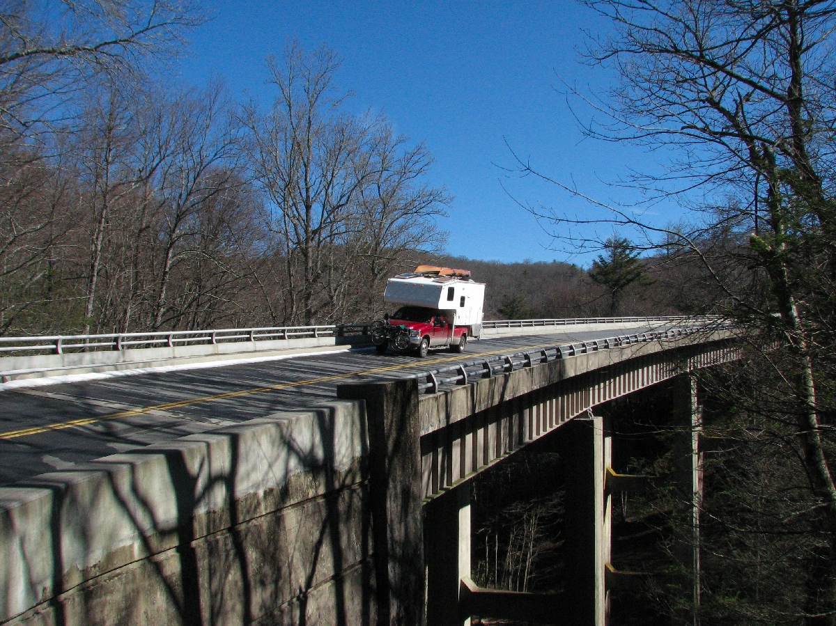
North Carolina is a beautiful state.  We traveled from Mt Airy, along part of the Blue Ridge Parkway, to the Asheville area.
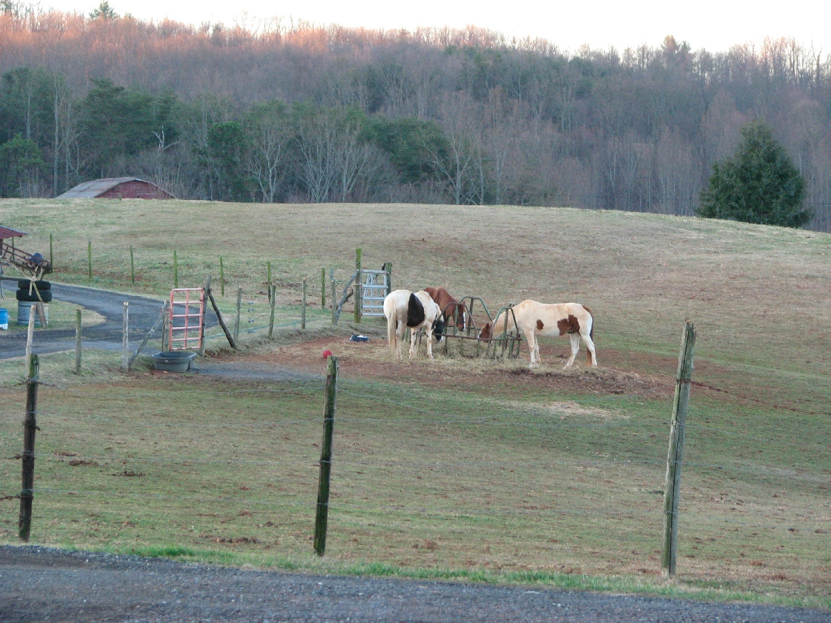
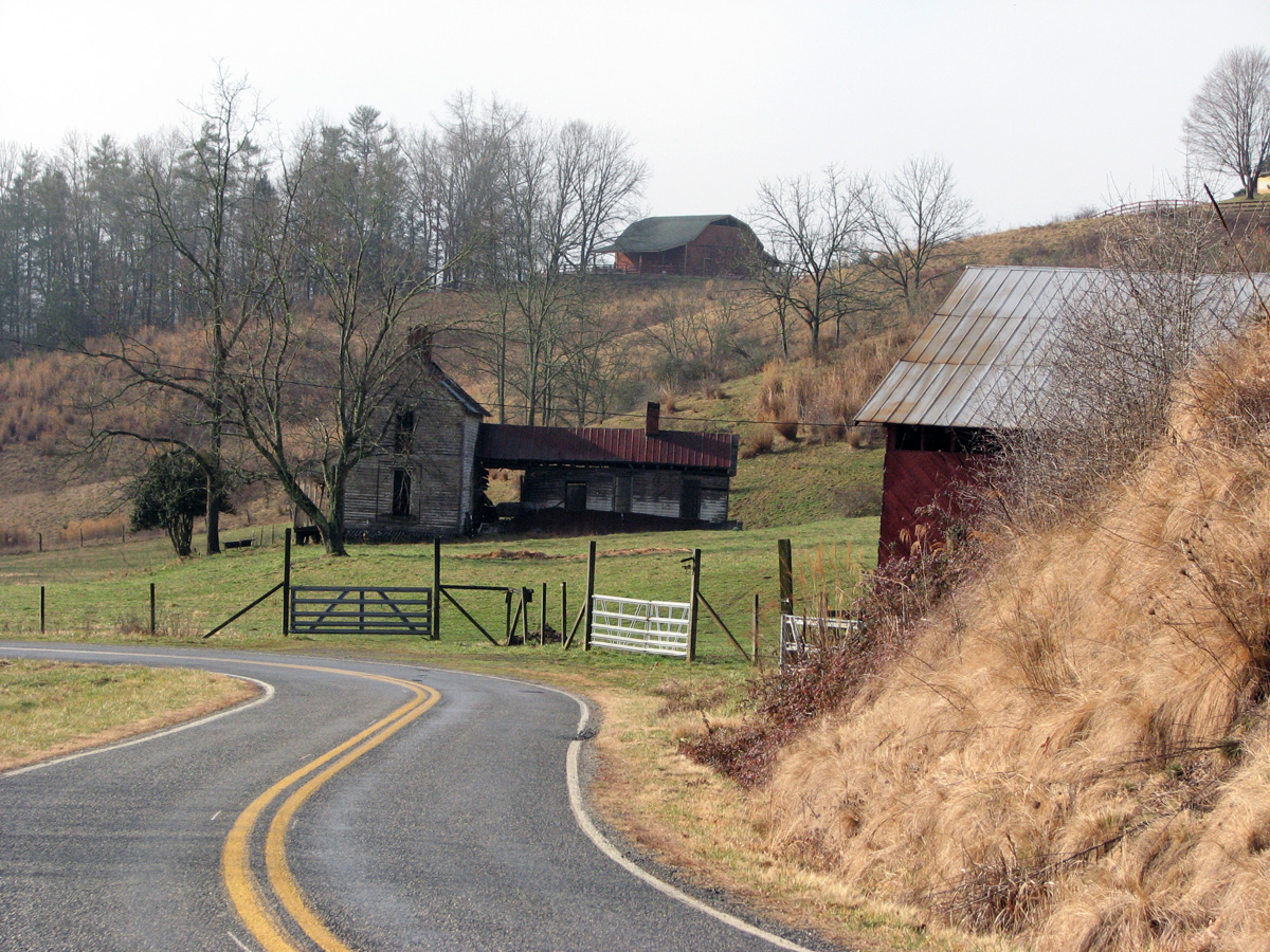
11  NC Horses12  Blue Ridge Parkway14  Bridge on the Parkway15  Split Rail Fence
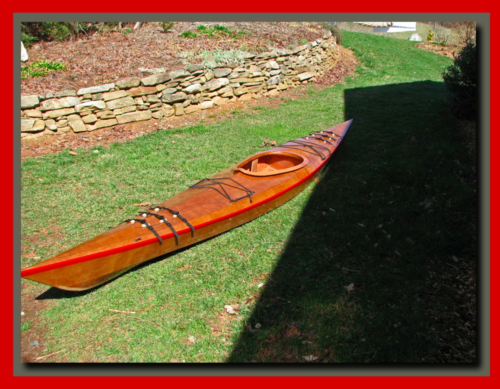
While we visited with our friends I doggedly pursued our goal of a completed kayak and finally presented Cheryl with her kayak "Connemara"
Connemara my boat
Between bouts of fiberglassing and sanding we managed to pick off a few of the local sites.
On my walk weeping love grassOur Daily Walk.
Biltmore from Ital garden edited 1The Biltmore Estate, from the Italian Garden
Never promised you a bloomin rose gardenThe Rose Garden...yet to bloom.
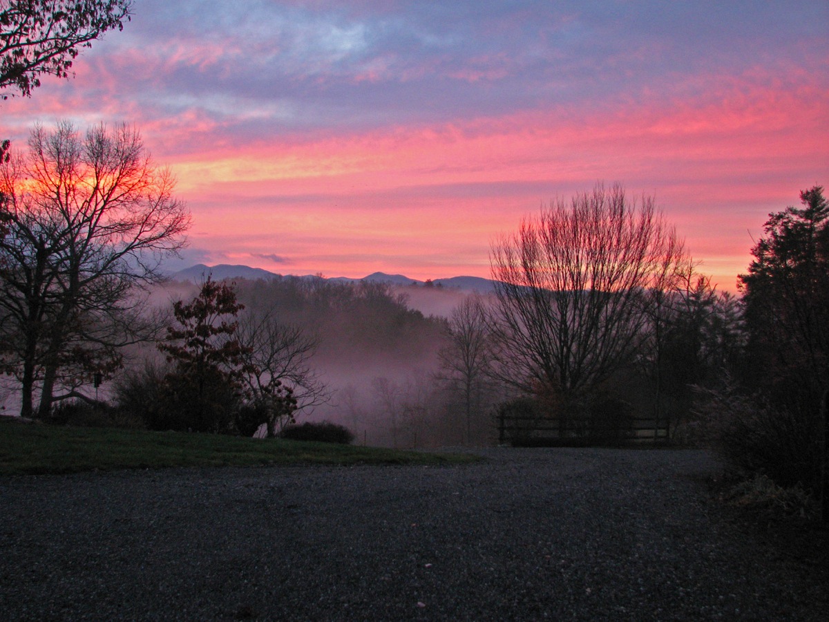
Sunrise in fogAnd, of course, a North Carolina sunrise.
After much good food, some excellent beer (try the French Broad Brewery's "Ryehopper Ale" if you ever get the chance), and the company of wonderful friends we left to meet up with some more friends south of Asheville for a trip to Hot Springs National Park in Arkansas, and the launch of Connemara.
T C D R