Tuesday, March 20, 2012

Leaving Hot Springs for West Texas


You will remember from the last post that we were in Hot Springs Arkansas.  Soaking in the hot springs tends to leave you dazed and confused, not to mention, thouroughly relaxed.  

Nevertheless the 3 grown boys got out their toys (GPS) and planned our next route.  Janis and Jim to head back to NH, Cheryl, Bruce, and I to head further west to the Corps of Engineers Parks on Lake Ouashita.  Lake Ouashita  is a Corps Lake and so has several COE campgrounds.  We picked Denby point to stay for a couple more days and prepare for the launch of "Connemara"

The  campgrounds were suprisingly full due to it being Arkansas school vacation week, but we still managed to find a lakeside site suitable for viewing the sunset while quaffing a "Fat Tire"

After postponing through several very windy days, Connemara launched to rave reviews.  I think the smile says it all.

Bruce set out in my kayak to try it for the first time also.

Finally it was time for Bruce to head back north and for Cheryl and I to begin our quest on our own.  From Lake Ouachita we drove south, crossed the border into Texas and camped for a night in the cypress swamps of Caddo Lake State Park.

The next two days were spent traveling across the rather large state of Texas.  Opting out of the Interstate Highway System we followed minor state and US routes through the Texas Hill Country and marvelled at the blooms of Bluebonnets (suspicously Lupine like) and Indian Paintbrush.


The Chapel at Garvin Gardens.  Thanks to Jim, Janis, and Bruce for all the fun.  see Y'all in NH…sometime.

Thursday, March 15, 2012

Hot Springs, Akansas

South of Asheville we met up with friends from NH who were staying at a cabin at a small resort near Hendersonville.


Luck was with us as we had a brake problem while staying there and could get it repaired locally before setting out to Hot Springs.  The cabin sat right on the edge of the Pisgah National Forest and we were able to get in a couple of quick hikes to see some of the marvelous waterfalls that North Carolina is known for.
This is the local version of squirrel in this part of North Carolina.  These are not albinos as they have dark eyes and all the squirrels in the area had the same unique coloration.
The easiest way to Hot Springs, well maybe not the easiest but certainly the funnest, was through Great Smoky Mountaains National Park.  Great Smoky has been on our bucket list for a long time but until now has eluded us.  We camped at Elkmont and Cades Cove campgrounds, both just fine.
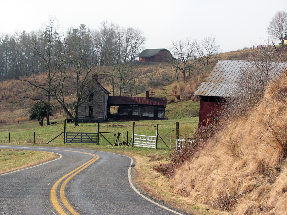
Old homestead barnOld Barn at homestead in Great Smoky Mountains National Park.
C J Abrams Falls Cades CoveT C Abrams Falls Cades Cove


⇐ Friends


And Lovers   ⇒


Our friend Bruce was along for part of the trip.  Bruce is interested in Civil War History so we stopped at Stones River National Military Park in Tennesee
Stones River and Shiloh National Military Park, also in Tennessee

So with multiple stops in North Carolina and Tennessee it only took us about 6 days to reach Hot Springs, Arkansas.  

Our destination in Hot Springs (aside from a soak in the hot springs, that is) was Garvan Woodland Gardens.  Garvan is an extensive botanical park under the aegis of the University of Arkansas and this time we managed to catch the tulips in bloom.
Garvan tulips
Garvan tulips2

C Bruce on Moon Bridge at Garvin GardensCheryl and Bruce on Full Moon Bridge - Garvan Woodland Gardens, Arkansas

From Hot Springs we will head west to Lake Ouachita (Wash - it - AH') State Park and, hopefully, a chance for some kayaking.

Thursday, March 1, 2012

We are Outta Here.

01  Time to go
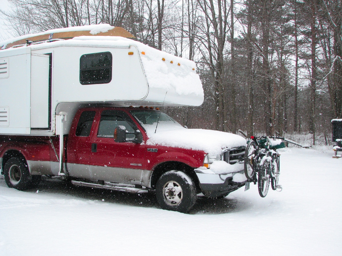
The New Hampshire winter wasn't turning out to be the kind of winter we like so in mid February we decided to visit some old Navy Friends in North Carolina.  One friend in particular has everyman's dream shop and offered it for me to finish Cheryl's kayak...  that's a  no brainer.  In our usual manner of directed wandering we visited with friends in Vermont and relatives in New York, then followed the Susquehanna River south into Pennsylvania.
02  Susquenhanna River
Our trip through Pennsylvania passed so close to Gettysburg National Military Park that we felt it was worth visiting, even for a short time.  A quick drive through was enough to tell us that this is a place to return to when we had more time.
03  Gettysburg NHP
Gettysburg is a solemn and sacred reminder of the difficult history we Americans have faced together.
04  Cannons at the ready
09  Crossing the PotomacWe also crossed the Potomac River on this trip, got weathered out of the Shenandoah Skyline Drive and so took a little side trip to Mt Airy, North Carolina.  Did you know that Mt Airy, North Carolina was the inspiration for Mayberry RFD?
10  Barney s CarBarney Fife is still on patrol.
North Carolina is a beautiful state.  We traveled from Mt Airy, along part of the Blue Ridge Parkway, to the Asheville area.
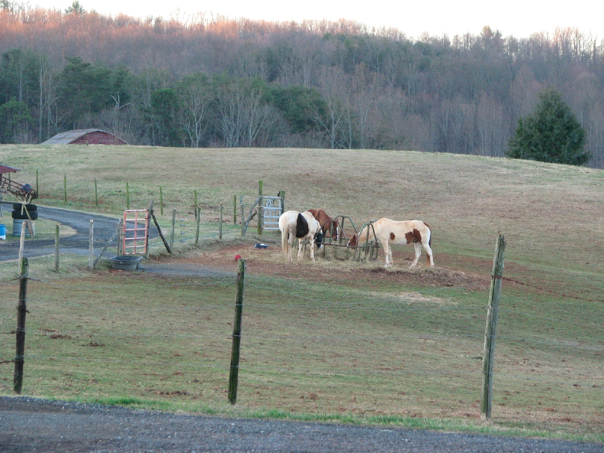
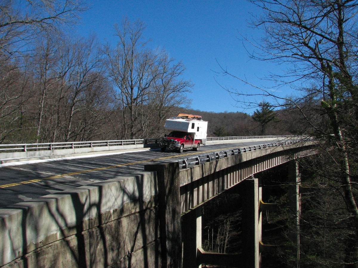
11  NC Horses12  Blue Ridge Parkway14  Bridge on the Parkway15  Split Rail Fence
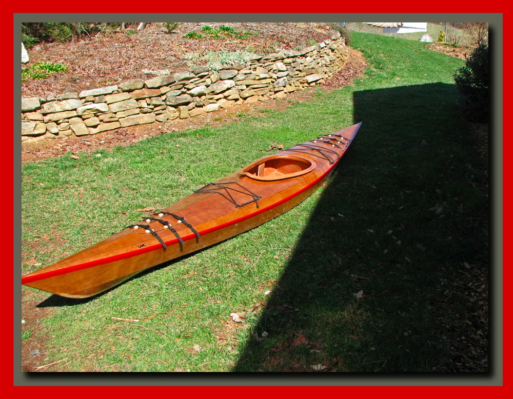
While we visited with our friends I doggedly pursued our goal of a completed kayak and finally presented Cheryl with her kayak "Connemara"
Connemara my boat
Between bouts of fiberglassing and sanding we managed to pick off a few of the local sites.
On my walk weeping love grassOur Daily Walk.
Biltmore from Ital garden edited 1The Biltmore Estate, from the Italian Garden
Never promised you a bloomin rose gardenThe Rose Garden...yet to bloom.
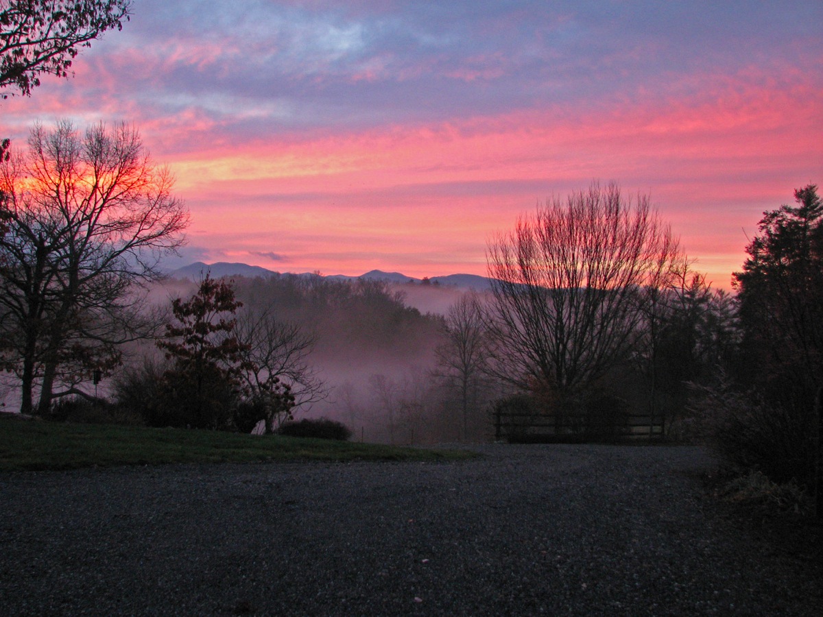
Sunrise in fogAnd, of course, a North Carolina sunrise.
After much good food, some excellent beer (try the French Broad Brewery's "Ryehopper Ale" if you ever get the chance), and the company of wonderful friends we left to meet up with some more friends south of Asheville for a trip to Hot Springs National Park in Arkansas, and the launch of Connemara.
T C D R

Thursday, April 28, 2011

Lake Powell - AZ, UT

Camping at Lone Rock Beach on Lake Powell

How would you like to wake up to this view every morning?
This is the view from the camper on Lone Rock Beach in the Glen Canyon National Recreation area of Utah and Arizona.  We decided it was time for a change of scenery, and perhaps a bit of kayaking.  Lake Powell is the the lake that formed when the Glen Canyon Dam, completed in 1963, flooded Glen Canyon.  To this day there is still much controversy about the Glen Canyon Dam.  Many people feel that it took away one of the most beautiful canyons in the world to put golf courses in the desert.  I can't speak knowledgeably to that question, but I can say that Lake Powell is a supremely beautiful place and I can believe that Glen Canyon must have been awesome.


Lone Rock Cave
We set up right on the beach with a beautiful view of Lone Rock on the Wahweap Bay arm of Lake Powell in Utah.  

The beach is huge and, at this time of the year, pretty much empty.   


We haven't done much beach camping and it was a real thrill for us to be here.


We set off the first day to explore Lone Rock and the far shore of the bay.

With no trees or familiar landmarks to provide an anchor for perception, the distances on Lake Powell are very deceiving.  Lone Rock looked to be about ½ mile away.  It took us 45 minutes to paddle to the rock, probably about 1½ to 2 miles.


On the far shore, invisible from our campsite, we found a small bay that led into a delightful slot canyon that we could kayak into.  At times we could put our hands on both sides of the canyon and push our kayaks through.


On our second day we kayaked to Castle Rock, an island near the center of Wahweap Bay, about a 6 mile trip one way, but well worth the effort.  The beautifully clear water, next to those towering white and red rock cliffs is just spectacular to see.


As you can see I am taking life seriously here in the west and working hard to have a good time.        ⇒


⇐ Another cave.  This one appeared to be about 12 feet deep to the cave floor, but with the water level where it was I could just barely fit into it.


Back at the campsite, just before the big wind that was due to show up, we shared a campfire with a wonderful family from Switzerland.  They are on sabbatical, 10 months into a 12 month tour of the US, Mexico and Canada.  They have seen more of the US in 10 months than most Americans will see in a lifetime.  It must have been a terribly difficult decision to come to a foreign country, buy a truck and fifth wheel camper, and set off on their own, touring Cities, National Parks and Forests, and meeting lots of new friends along the way.  Cheryl and I are very proud to know them .

Eddy, Jenny, Cindy, Aline
Bon Voyage


We have been so blessed in our travels to meet  some of the world's nicest people.  

Well, shortly after the campfire the promised big wind showed up and blew us all the way north to Bryce Canyon National Park...More to come.


Monday, April 25, 2011

Toroweap Overlook - Grand Canyon National Park, AZ


2011 Western Trip
Toroweap – Grand Canyon National Park

Scratch one off the Bucket List
I can remember as a kid seeing pictures of Toroweap in National Geographic Magazines and other books on the American West. I was instantly fascinated and always hoped to see this remote, but spectacular, part of the Grand Canyon. Lately, with all our traveling about I have often looked at the information regarding Toroweap that I have been saving, knowing it was unlikely we would ever get there. Last year, while visiting Pipe Spring National Monument in Arizona we drove by the road to Toroweap, but it is a difficult place to get to and we had other places to go. 
This year we found ourselves once again at the road to Toroweap. We stopped for lunch on the way to Kanab at the pull off for Antelope Valley road...the road to Toroweap. The road, unimproved of course, is 61 miles long, the last 20 miles is rough, the last 6 miles is over slickrock, narrow and difficult, and the last 3 miles requires a high clearance 4 wheel drive vehicle. I stopped a couple of people coming out of the road for information and they all said the road was in great shape, but they had not been all the way out to the campground, 61 miles away. Awww. What the hell. We've done bad roads before. 

 
We did 28 miles of gravel road to get into City of Rocks National Monument. We did 56 miles of gravel road to visit Ruby Marsh National Wildlife Refuge. I know a guy who did over 600 miles of gravel road to visit James Bay.

In truth, the road was in very good shape for 40 miles, and really pretty good still for another 15 miles. Miles 56 through 58 were rough, but we did much worse going out to visit some of the Ancient Puebloan Ruins we visited 2 years ago. Now miles 59-61 were tough. They were narrow twisty slickrock miles with tight gaps (9 feet ! - 8 foot truck), but we shifted down into 4 wheel drive low range, took it real slow, me driving and Cheryl moving an occasional badly positioned rock, and very carefully made it to the campground to claim the last available site. It took us 45 minutes to do the last 3 miles, about 3 hours total. Was it worth it.          Take a look.  ⇓
Canyon View from Toroweap
Toroweap Outlook is almost straight above the Colorado River in a geologically active area. This is the area where an ancient lava flow dammed up the river until the river finally cut through it and created Lava Falls, one of the toughest sections of the river for rafters and kayakers, reputedly a 36 foot drop. From most of the public areas of the Grand Canyon it is very difficult to see the river that created the canyon.  Mile long drops, and canyon walls that descend to the river in wide steps, hide the river from the rim for most of it's journey.  By contrast, the near vertical canyon walls of Toroweap make it much easier to see the river..if you don't mind leaning out a bit over the edge.
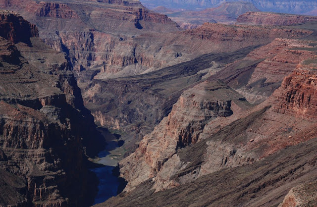
Colorado River, Grand Canyon, from Toroweap Overlook.
Most photographers know that the early morning hours and the magic hours before sunset are the time for spectacular pictures.  Cheryl is no exception.
Mount Sinyella at Sunrise.

Mount Sinyella at Sunset
We've been to both the North Rim and South Rim sections of the Grand Canyon. The South Rim is big, with huge vistas looking down miles of canyon. The North Rim is a much more intimate area, less developed, forested, and very beautiful. Toroweap, some 50 or so miles west of the North Rim, and probably 80 or 90 miles downriver, is a bit of both. We are lower here, only 3000 feet above the river, but we are also in the Canyon rather than on the rim looking down into it. You feel the canyon more here. Many of the viewpoints are truly vertical above the river unlike the stepped drops to the river farther up canyon. If the expression “Willie Knees” means anything to you, be prepared for a lot of that feeling at Toroweap.

Hangover


Show Off.


We camped for 6 days at  Toroweap (mostly because I was not looking forward to the drive back out - Just Kidding) and hiked every day.  The campground, operated by the National Park Service, is free to anyone willing to make the trip. Pack it in – Pack it out, of course. That's just perfect for a truck camper.
Settled in at Toroweap Campground.
All of the venues of the Grand Canyon (Lee's Ferry, Cathedral Wash, North Rim, South Rim, Toroweap) are magnificent and whenever you get the chance to visit any of them you will be amazed, but in my humble opinion, Toroweap is by far the best. 
6 Days was enough to make us want to come back.


⇐ YIKES !